The Ship Map

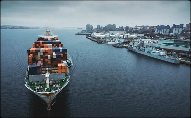
A new interactive video and map was recently created by Kiln and the UCL Energy Institute (UCL EI). The map shows the movements of the global merchant fleet for a total of three months in 2012. The data visualization is overlaid on a bathymetric map. There are a few statistics such as a counter for emitted CO2 (in thousand tonnes) and maximum freight carried by represented vessels (varying units).

Capture

Ship Map

Click the following link to access the interactive map Ship Map .

The Lease As An Alternative Structure For Financing Ships

2016.06.06 - The Lease As An Alternative Structure For Financing Ships

[Read more…]

Pooling Agreements

In this short note the authors consider whether the entry of a ship into a pool can be regarded by financial investors (lessors and lenders) as a reasonable alternative to employment on time charter.

2015.11.15 - Pooling Agreements

[Read more…]

PSC Report for Q3 2015

The third quarter of 2015 the PSC MoU with the highest detention ratio (7.83%) was that of Mediterranean MoU, an increase which is mainly attributed to the increased detention ratio of general cargo ships. After the Mediterranean MoU, the Indian Ocean MoU was the second MoU with increased detention ratio (4.13%), followed by Paris MoU (3.61%) and Black Sea MoU (3.15%). In comparison to the previous quarter of the year the detention ratio of Tokyo MoU was decreased to 2.72%.

2015.10.26 - PSC Quarterly Report 2015 Q3 Figure 01

[Read more…]

Black Carbon Emissions from Shipping

This past January, the International Maritime Organization (IMO) made long-anticipated progress on the definition of black carbon from shipping. After four years of agonizing debate, the subcommittee on Pollution Prevention and Response (PPR) recommended that the Maritime Environment Protection Committee (MEPC) accept the definition used in this landmark paper by Tami Bond et al., and move forward with its work plan on black carbon. Next steps include developing a standardized way to measure black carbon and investigating potential control options.

2015.08.19 - Black Carbon Emissions from Shipping Figure 02

[Read more…]

The Human Element in Accidents

Shipping industry statistics state that around 90% of world trade is carried by sea. Key sea lanes are already busy and as world economies expand, the number and size of ships trading internationally, currently 50,000 vessels, will increase. The natural hazards of being at sea remain the same, but the increased congestion will add to the risk of collision or grounding. Whilst technology, particularly in the form of electronic navigational aids, has done much to reduce incidents in recent years, they do continue to occur with predictable frequency.

2015.07.26 - The Human Element in Accidents

[Read more…]

Use of Armed Security Guards in Indian Ports

The issue of using armed security guards onboard merchant vessels used to be a matter that required particular attention in the past. However, during the recent years and due to the fact that the maritime security industry became more regulated (e.g. ISO/PAS 28007:2012) the use of privately contracted armed security personnel (PCASP) onboard ships has become a routine.

2015.07.21 - Use of Armed Security Guards in Indian Ports

[Read more…]

PSC Report for Q2 2015

The second quarter of 2015 PSC inspections in Black Sea and Mediterranean PSC MoU were slightly decreased compared to the numbers of the first quarter. The same occurred for Paris PSC MoU, whereas for Tokyo PSC MoU the total number of PSC inspections was increased. The PSC inspections that resulted in identifying deficiencies onboard vessels was decreased for the Black Sea, Mediterranean and Paris PSC MoU but was increased for the Tokyo PSC MoU.

2015.07.20 - PSC Quarterly Report 2015 Q2 Figure 01

[Read more…]

Driving Operational Change with Data-Driven Analytics

Real-time reporting and data analysis are key tools to understanding and improving complex operating environments of today’s companies where the overall effects of any individual action can be very difficult to identify without a proper tool set at hand.

2015.07.13 - Driving Operational Change with Data-Driven Analytics Figure 01

[Read more…]

Routing Optimization the Missing Part

Optimal routing is an essential part of Voyage planning. Traditionally, optimal routing has been avoiding areas with high risk of cargo damage. With advanced weather forecasting, the forecast period has become longer. With advanced data communication, it is possible to deliver the updated forecasts onboard, and weather routing has become dynamic and adaptive to the real weather and is no longer merely avoidance of high risk areas.

2015.07.13 -Routing Optimization the Missing Part Figure 01

[Read more…]