It is known in the Maritime Security industry that Somali pirates use hijacked merchant ships, fishing vessels and dhows as ‘Motherships’ in order to operate at extreme range from Somalia, carrying attack craft (skiffs) and weapons. NATO has received reports of Somali pirates using common local ships in piracy attacks. They will board the ship and hold the original crew hostage. A local ship enables the pirates to blend in among the boating traffic and present itself as a fishing or trading vessel.
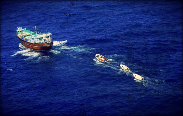
Local ships in the HRA are often not registered and it is very important that we have a good as possible description of the local ships, apart from pictures. It is recognised that vessels encounter significant numbers of small vessels during their transit of the high risk area (HRA) – the vast majority are, of course, exercising their lawful business. Clearly this can still cause a lot of tension for the bridge team during close encounters.
In response to these somali-pirates practices NATO established in 2011 the Dhow Project as part of a concerted effort by the Naval Counter Piracy Operations interfacing with the shipping community to understand the regional maritime trade in the Gulf of Aden, Arabian Gulf and Indian Ocean.
The aim of the Dhow Project is to prevent the use of local vessels in pirate related activities. This can be achieved through the understanding of ownership, registration, trade routes, fishing, communications procedures and other normal activities to assist coastal nations in the fight against piracy.
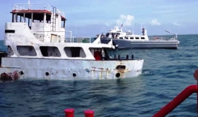
Some pictures of fishing vessel’s and dhows usually encountered in the area are displayed below:
Extensive reference is being made in the following NATO guidance documentation:
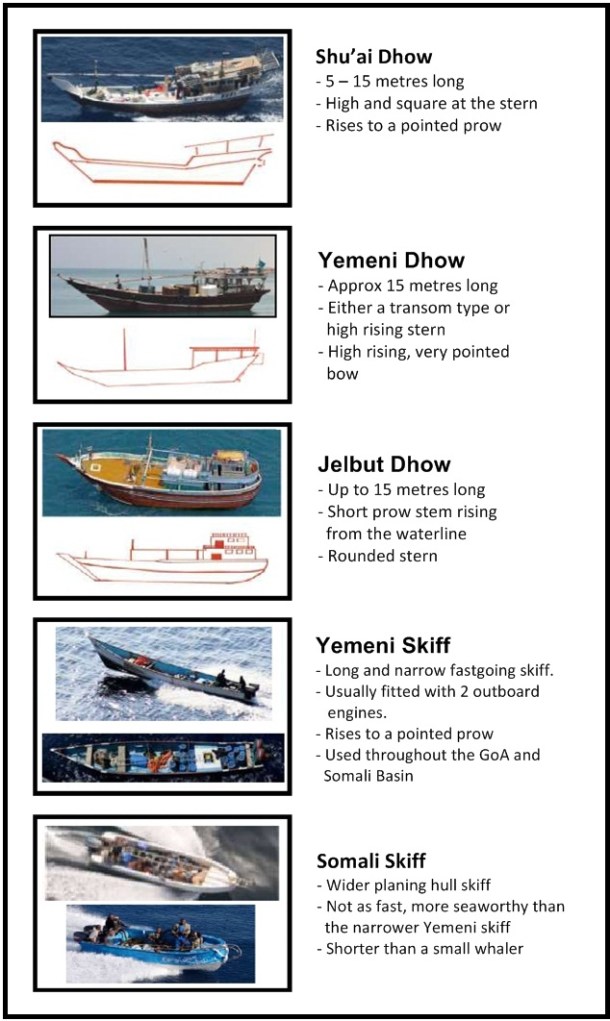
- Dhow and Skiff Recognition Chart: The chart was created as a simple guide to quickly and easily identify the type of dhows and skiffs common in the region. Aimed at mariners transiting through the area, it provides a quick guide to local vessel types.
- Dhow and Skiff Recognition Guide: Similar to the Recognition Chart, the guide provides a look into local Dhow related issues. More comprehensive, the guide looks at vessels, traffic, routes and features in the area. It is intended for the whole maritime industry with interests in the region.
Sources: SAFETY4SEA, NATO


Leave a Comment